Relief globes, now open source
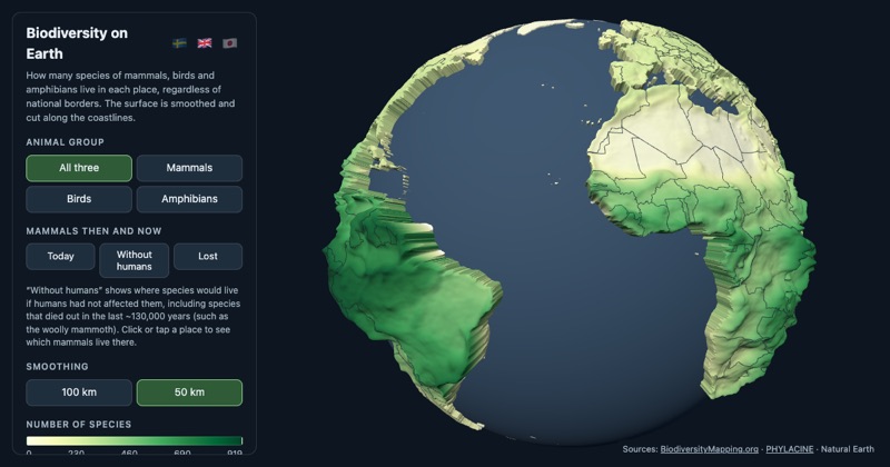
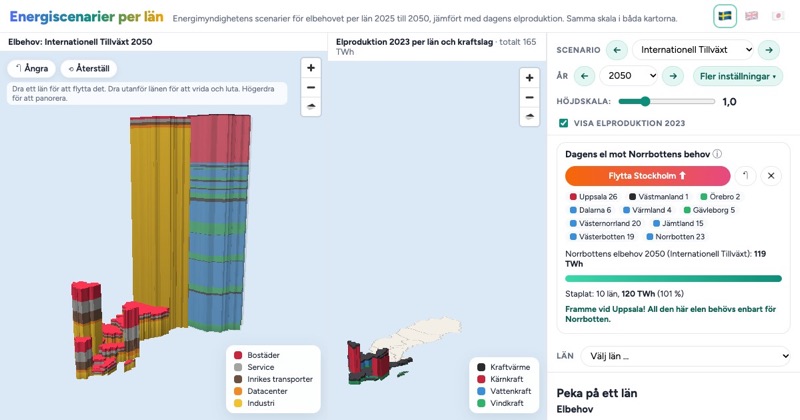
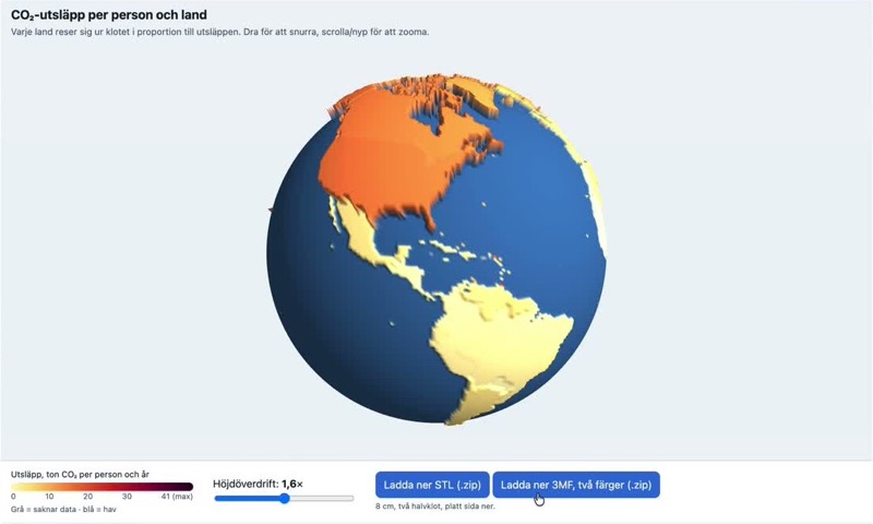
An interactive globe where land rises and the sea floor sinks, exportable as two- or three-colour 3D prints. The code is now on GitHub under an MIT license.
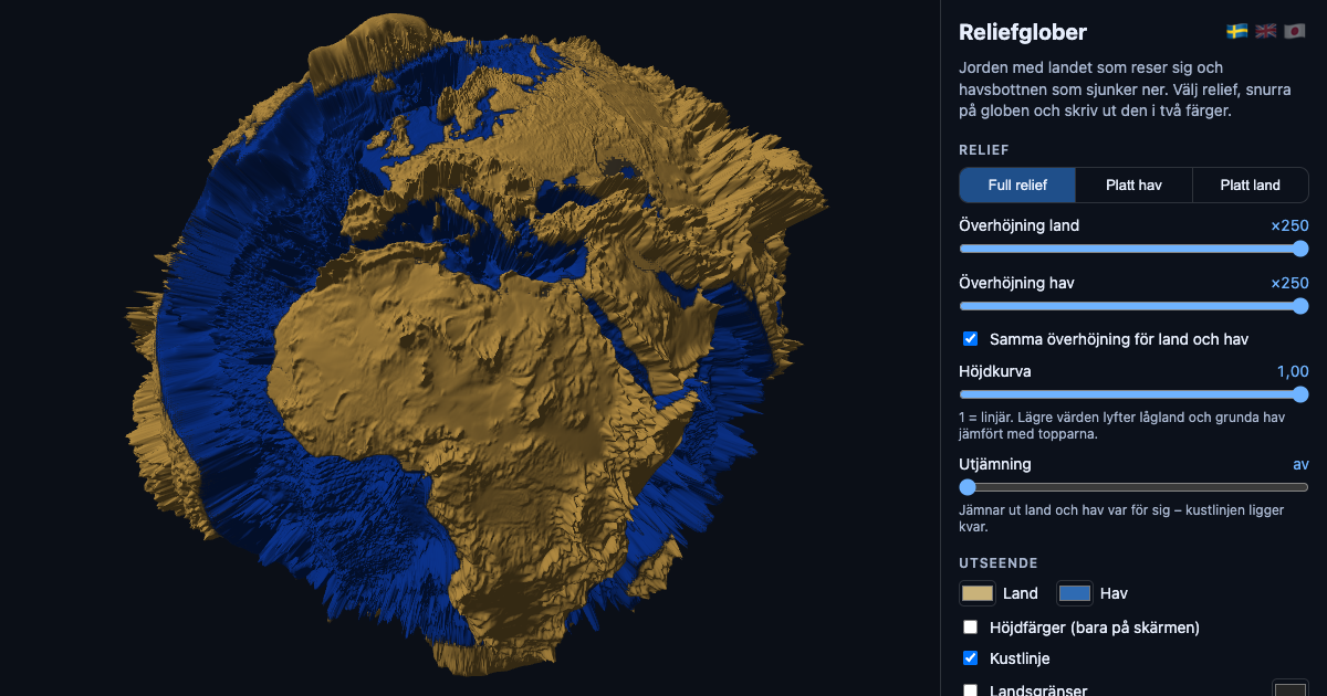
Relief globes started as a simple question from teaching: what does the Earth look like if you exaggerate the height enough to actually see the mid-ocean ridges and the trenches?
The page draws the ETOPO elevation data on a globe. You can show full relief, flatten the sea, or flatten the land, and choose the vertical exaggeration (the default is now ×250). The globe exports as two STL files, one for ocean and one for land, so it prints in two colours on an ordinary multi-material printer. Since last week, country borders can be shown too, and printed as a thin third part.
The code is now public on GitHub under the MIT license. Use it, change it, print it in class. I just ask that you credit the source.
It runs on phones as well. The camera now adapts to the space next to or above the control panel, which turned out to matter more than anything else for mobile use.
Get new posts: Follow on Bluesky Follow on Facebook RSS feed How?